Boy, did I luck out today for my walk through the George River National Park – a brilliant sunny winter’s day. Although I have walked the Ridge Track section before (many years ago now) I learned of the latter part of today’s walk when I bumped into another walker on the Yeramba Loop Track a few weeks ago. With other activities are on the back-burner because of the Corona virus it was a good opportunity to go for it.
This walk is part of the longer 15.8 km route from East Hills railway station to Padstow railway station, allowing for recovery after the journey. A detailed description of the route plus maps and transport options is available on the internet.
I confined my shorter trek from the The Shop at Picnic Point to the Elatte Cafe at Padstow Heights making it possible to have a delicious coffee at either end.
The walk can be broken up into a number of different sections.
Yeramba Loop Track

Yeramba Lagoon

Wattle starting to bloom
From The Shop in Picnic Point Road I headed down the nearby Samoa Avenue into the Georges River National Park to pick up the eastern half of the Yeramba Loop Track down to Henry Lawson Drive. This is probably my favourite short walk which goes around the lagoon (see my post of 8 April 2020) and I was delighted to see one of the first wattles coming into bloom.
Ridge Track
Crossing the Drive I headed up to the top of the rocky climb to join the Ridge Track. The track generally follows the Georges River which is way below and peaking through some majestic eucalyptus trees. The track is well formed and appears well used but it can be somewhat difficult in parts getting around and over rocky outcrops and boulders.

Climbing up to the Ridge Track
The Ridge Track ends just inside the entrance to the NP at The River Road intersection. Having walked at a steady pace it had taken me an hour this far.

Henry Lawson Drive
Like some other sections of the longer East Hills-Padstow walk, this section is on road, and unfortunately it is Henry Lawson Drive without a footpath, so care needs to be taken. This section is about 500 metres long including a crossing of Little Salt Pan Creek before again heading into the Park to the river.
Mickeys Point Beach
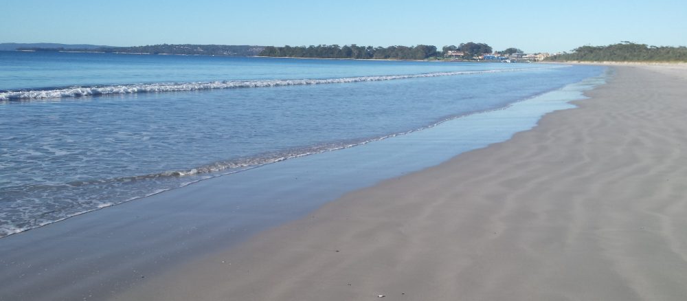
This section starts with a service trail paralleling the Creek to reach the River at Mickeys Point and the start of the sandy beach which runs some 600 metres to the Alfords Point Bridge. Late on this sunny morning there were only three other sets of footprints along the sand – two human and one dog.

Mickeys Beach

Alfords point Bridge
Padstow Heights
Passing under the bridge a short section passes through the river flats to the track that climbs the fire ravaged Beauty Point Reserve to Playford Road, Dilke Road and the Elatte Cafe. Here I was enjoying my flat white less than two hours after setting out.


